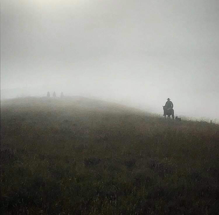
Petroleum County is a county in the state of Montana, established in 1925. As of the 2010 United States Census, the population was 494, making it the least populous county in Montana and the seventh-least populous in the United States.
The county’s area was partitioned from Fergus County to become one of the last of Montana’s 56 counties.
Per Page’s of Time – A History of Petroleum County, MONTANA
“Petroleum County encompasses 1,064,950 acres of land or approximately 1680 square miles. (The state of Rhode Island contains on 1214 square miles!) All the streams in the county drain eastward to the Musselshell River, thence northward into the Missouri. The rolling plains become rough river breaks as they approach the two rivers. Much of the soil is heavy clay and silt loams, of fine sandy loam. Altitude ranges from 2950 feet at Winnett to the normal pool level of Fort Peck Reservoir at 1,146 feet.”


